Kuchoro Sediment Retention Basin
Restoration Site 3 : Kuchoro Sediment Retention Basin
A sediment reduction measure has been implemented in another tributary.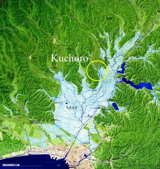
Sediment control areas have been established on both banks of the Kuchoro River, a tributary of the Kushiro River. The site is located at the edge of the wetland and helps reduce sediment inflow into the wetland. 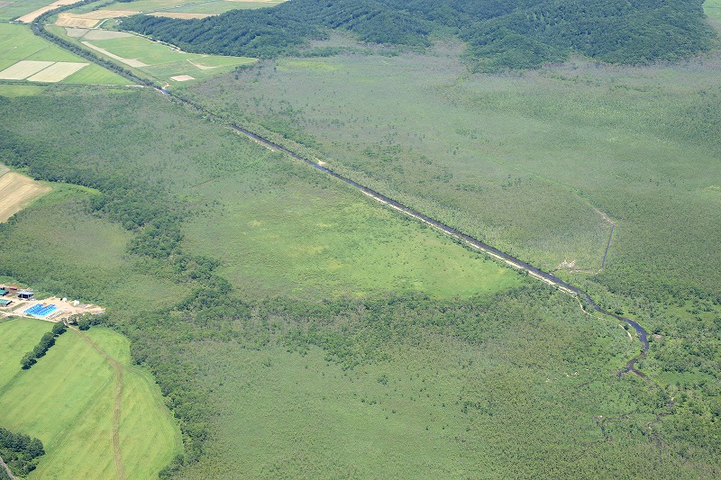
The sediment control areas on both banks cover a total of about 60 hectares. Low walls were constructed to enclose the areas. During floods, water overflows the banks and is temporarily stored within these areas. The settling of suspended sediment in these areas helps reduce sediment inflow into the wetland. 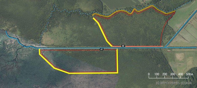
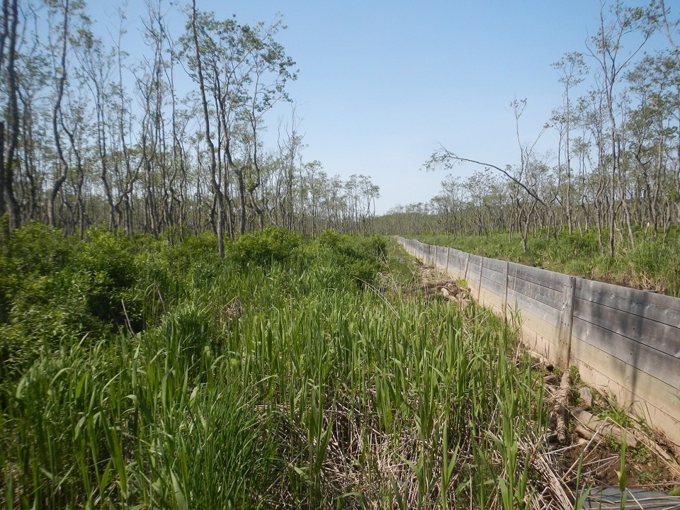
A large volume of sediment was effectively trapped at the site during the major flood in 2016. 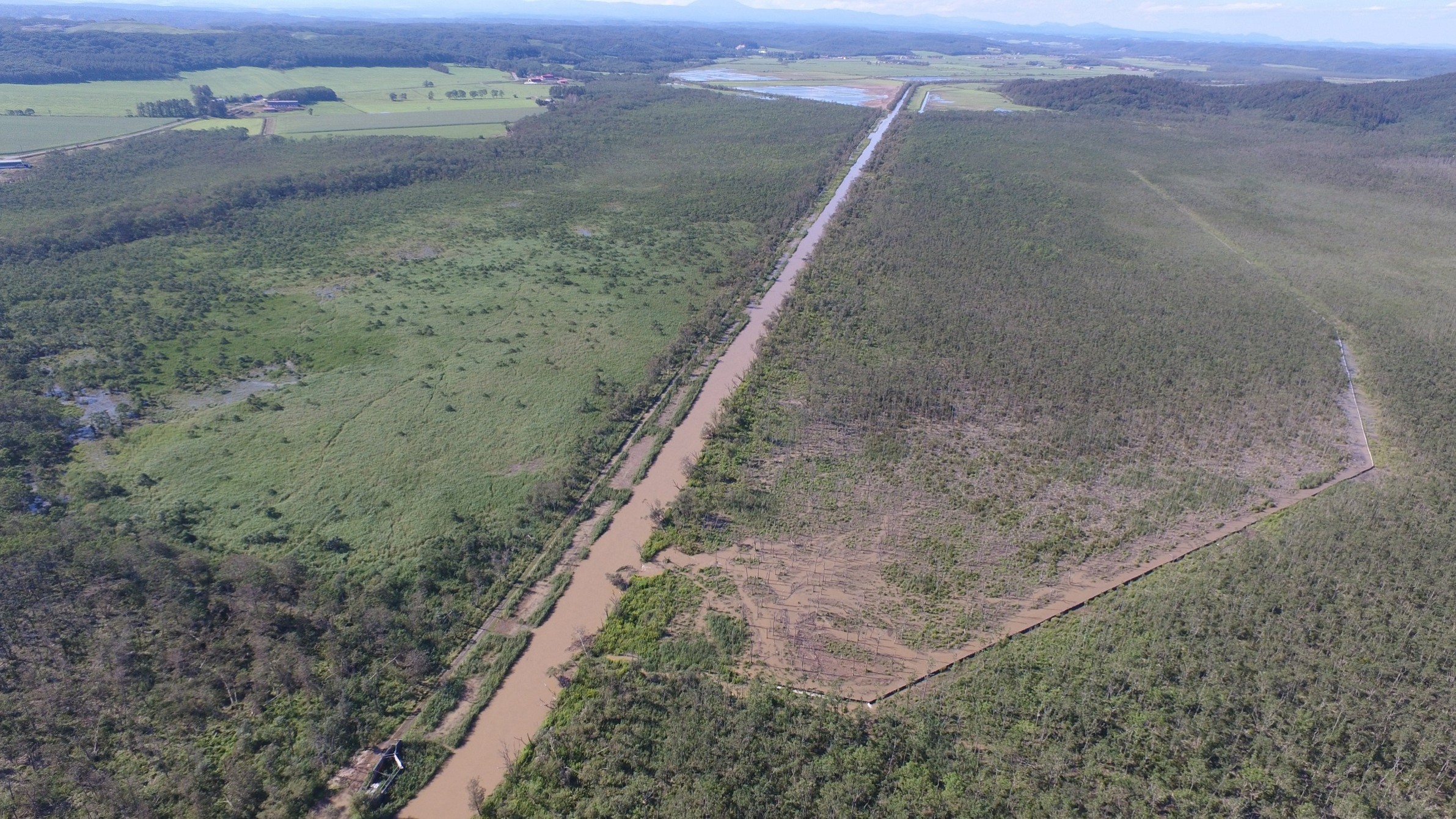
Kushiro Wetland Restoration ProjectKushiro WetlandWetland Restoration Restoration Site 1 : Kayanuma, Old Channel Restoration 1 Restoration Site 2 : Numaoro, Old Channel Restoration 2 Restoration Site 3 : Kuchoro, Sediment Retention Basin Restoration Site 4 : Hororo, Reconversion of Farmland into Wetlands Kushiro Wetland Nature Restoration Council Project Goals Sediment reduction flowing into the wetland Implovement of habitat for fish Restoring Wetland Vegetation History 1 : Wetland Development History 2 : Shift Toward Wetland Conservation and Restoration Peatland |